


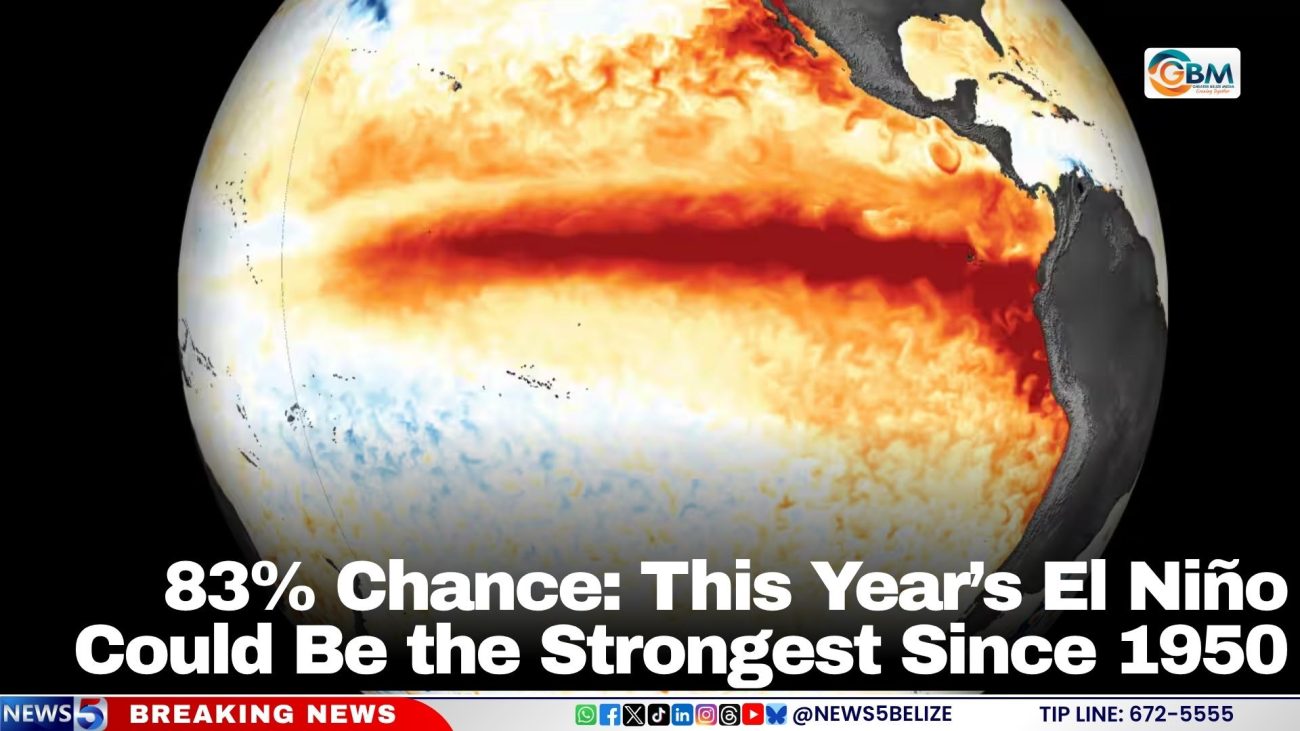
83% Chance: This Year’s El Niño Could Be the Strongest Since 1950
Climate forecasters are warning that the current El Niño phenomenon could reach record-breaking levels and increase the risk of extreme weather in several parts of the world.
The United States National Oceanic and Atmospheric Administration (NOAA) has raised the probability that the event will become the strongest El Niño since records began in 1950 to 83%, up from 75% in its previous forecast.
NOAA’s Climate Prediction Center rates a strong-to-very-strong event as likely through January to March 2027.
El Niño forms when surface waters in the central and eastern Pacific grow warmer than normal, shifting weather patterns around the world. It disrupts atmospheric circulation, influencing rainfall, temperatures and storm activity worldwide.
El Niño Strengthens, Belizean Farmers Face Greater Agricultural Risks
According to the latest measurements cited by Australia’s Bureau of Meteorology, average weekly sea-surface temperatures in the central Pacific have reached their highest levels in its available record. Scientists are monitoring whether the event will officially qualify as a “Super El Niño”, a classification associated with exceptionally strong ocean warming.
Strong El Niño events are typically associated with reduced Atlantic hurricane activity, increased Pacific cyclone activity and heightened risks of drought in some regions and flooding in others.
NOAA reports that a stronger El Niño does not always mean bigger weather impacts, but it makes certain impacts more likely.
Meanwhile, in Belize, the Department of the Environment (DOE) said last week that the country has been experiencing drier-than-usual conditions. The DOE pointed to reduced rainfall and lower river flow as possible factors behind declining water quality in the New River.