

Potential Tropical Depression Brewing in Bay of Campeche
Meteorologists at the National Hurricane Center are closely monitoring a developing weather system in the Bay of Campeche that could soon become the season’s next tropical depression.
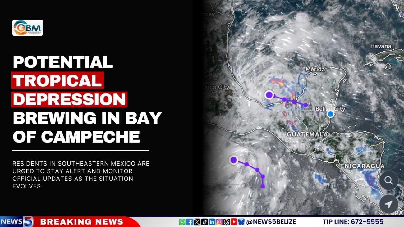
As of 2:00 PM EDT on Saturday, surface observations, satellite imagery, and radar data from Mexico indicate that a well-defined surface circulation is forming near the Mexican coastline. Associated shower and thunderstorm activity is becoming more organized, a strong sign that the system is intensifying.
If current trends continue, forecasters say a tropical depression could form later today. The system, currently designated Invest AL91, is expected to track west-northwestward over the weekend, potentially making landfall in eastern Mexico by Monday.
An Air Force Reserve Hurricane Hunter aircraft has been dispatched to investigate the storm further. Depending on the findings, Tropical Storm Watches or Warnings may be issued for parts of Mexico’s Gulf Coast as early as this afternoon.
Even if the system does not reach full tropical cyclone status, forecasters warn that locally heavy rainfall will continue to impact portions of Guatemala and southeastern Mexico over the coming days, raising concerns about flash flooding and landslides.

The National Hurricane Center places the system’s chances of tropical formation at 70% over the next 48 hours and 7 days.
Residents in southeastern Mexico are urged to stay alert and monitor official updates as the situation evolves.
Facebook Comments