After days of heavy rainfall and widespread flooding, weather conditions across northern Belize have improved, officials from the National Meteorological Service and the National Emergency Management Organization (NEMO) confirmed today.
Chief Meteorological Officer Ronald Gordon explained that the severe weather began mid-last week due to the passage of two active tropical waves, one on Wednesday and another on Friday. The latter developed into an area of low pressure west of Belize before strengthening into Tropical Storm Barry in the Bay of Campeche. The storm later made landfall in eastern Mexico and has since dissipated.
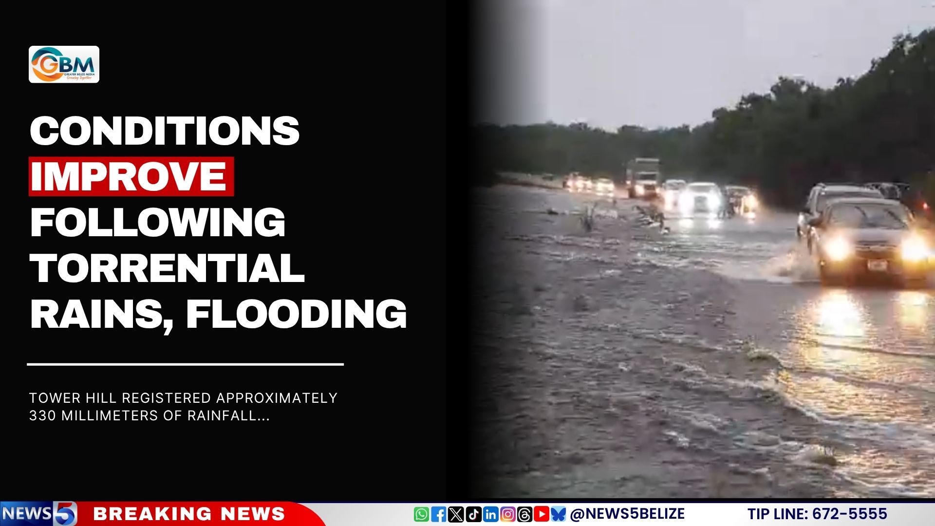
“Most of the country began to see improved weather by mid-morning Saturday,” Gordon noted, adding that the worst of the rainfall occurred between Friday and Saturday morning. The Orange Walk District, particularly areas such as Tower Hill and Douglas, recorded significant precipitation, over 12 inches in less than 72 hours. Tower Hill registered approximately 330 millimeters of rainfall, while Douglas recorded 221 millimeters, contributing to rapid flooding in multiple communities.
The deluge forced dozens of residents from the villages of Trial Farm and San Pablo to evacuate their homes. According to NEMO Coordinator Daniel Mendez, 54 individuals sought refuge in emergency shelters opened Friday night. While most evacuees have since returned home as floodwaters receded and roads reopened, 26 people remain at the San Pablo Community Center and are still receiving support from relief officials.
Damage assessment teams have been deployed to affected areas to evaluate the impact and determine ongoing needs. Relief and Supplies Management teams are continuing to provide essential supplies, including food, water, hygiene kits, and bedding, to those still recovering.
“We want to assure residents that assistance will continue for as long as necessary,” Mendez stated. “Our teams are out conducting follow-ups and ensuring those affected are getting the help they need.”
While access has improved across the Orange Walk District, NEMO is urging drivers to exercise caution, particularly in areas like Guinea Grass and San Roman, where roads are still waterlogged and only passable by large vehicles. Roads to Yo Creek, Santa Martha, San Antonio, and August Pine Ridge are now considered safe for travel, though some may still pose hazards.