


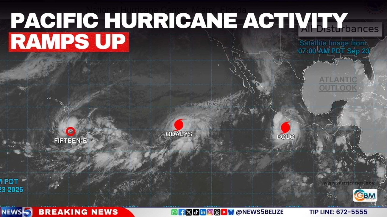
Pacific Hurricane Activity Ramps Up
Hurricane Polo remains a major threat off Mexico’s Pacific coast, despite being downgraded from a Category 5 storm to Category 4.
The National Hurricane Center (NHC) said Wednesday that Polo was located a couple hundred miles offshore of southern Mexico and remained one of several active systems being monitored in the eastern and central North Pacific.
The storm is expected to move slowly west-northwestward, with intense rainfall forecast along parts of Mexico’s south-western coast. Mexican President Claudia Sheinbaum said Tuesday the storm is not projected to make direct landfall but urged residents along the Pacific coast to stay alert.
Forecasters warn it will drive torrential rainfall and “life-threatening flooding and mudslides, especially in areas of steep terrain,” particularly across Jalisco, Colima and Michoacán. Rainfall could reach 15 centimetres, with isolated totals of up to 20 centimetres.
A NOAA Hurricane Hunter aircraft flew into Polo on Tuesday and recorded sustained winds near 285 kilometres per hour, which is equivalent to about 180 miles per hour, with stronger gusts.
Polo’s strength is being fuelled by unusually warm ocean water tied to what scientists say is now the strongest El Niño on record. Sea surface temperatures in the central-eastern Pacific hit 3.05°C above average on 19th September, surpassing the previous record set during the 2015 El Niño. NOAA says the environment remains “very conducive” for the storm to strengthen further.
The NHC is also tracking Hurricane Odalys, newly upgraded, well west-southwest of Baja California, and Tropical Depression Fifteen-E, which has re-formed a few hundred miles southeast of Hawaii’s Big Island. A separate system is expected to develop south of the Gulf of Tehuantepec later this week, carrying an 80 percent chance of formation within seven days.