

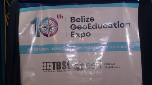
Tech Meets Education at Belize’s GeoEducation Expo
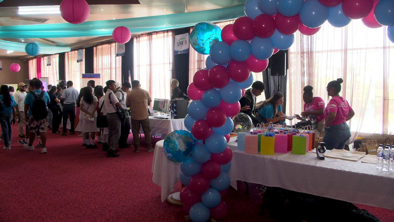
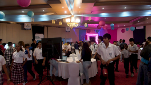
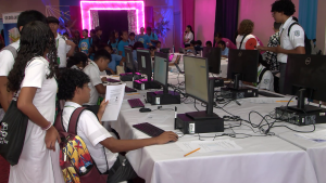
Classrooms spilled into the future this week as students across Belize traded textbooks for technology at the 10th GeoEducation Expo. Instead of memorizing places on a map, students stepped right into the data, using the same geospatial tools that shape cities, guide businesses, and protect the environment. Students from nearly thirty schools didn’t just look on; they got hands-on. They tested GIS mapping software, flew drones, and explored interactive displays hosted by public and private sector partners. Every booth turned complex data into something tangible, showing how maps power real-world decisions. Organizers say the expo might be ten years old, but the vision behind it has been building for fifteen years, steadily weaving geospatial skills into everyday learning and preparing students for careers that didn’t exist a generation ago. From planning and development to environmental management, maps today do far more than show where you are, they help decide where you’re going. Zenida Lanza has the story.
 Zenida Lanza, Reporting
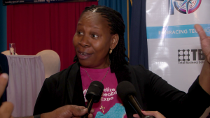
The company behind today’s expo, Total Business Solutions Limited (TBSL), has spent fifteen years trying to bring geospatial education into Belizean classrooms, pushing through COVID, hurricanes, and other challenges to reach this tenth expo milestone. Managing Director Loretta Palacio says the goal has always been to bring Belize’s geography to life in ways a textbook simply cannot. This year’s GeoEducation Expo brought together thirty schools, giving students a hands-on look at how GIS data layers and technology are shaping different industries.
Loretta Palacio
Loretta Palacio, Managing Director, TBSL
“And so since 15 years now, we’ve been promoting it to allow the students to look at the villages in a dynamic environment. You know, they’ll be exploring in VR headsets to look at caves, to look at the rivers, different data sets that they’re seeing in a book that we grew up paging through. And so having 30 schools from all across the country, from up north, all the way from PG, coming to this event today means a lot. It says that these students, these schools, the teachers, the principals, they understand that this technology can help them, help our students improve in their learning, help the teachers improve with the delivery and to be able to set it up. So we’re going to be working on some data sets, the MapMaker Atlas. It’s a software that we were demoing to CEO at one of our booths, where schools have free access.”
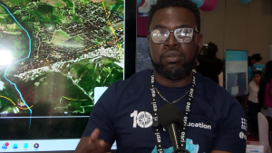
 At the heart of the technology is Geographic Information System, otherwise known as GIS, which is a system that layers geographic data to reveal patterns and relationships across landscapes and communities. At one of the booths, students were getting a hands-on look at something familiar reimagined. Maps from the very textbooks they study in school, brought to life digitally. Geospatial Solutions Manager Carmichael Ellis broke it down.
Carmichael Ellis
Carmichael Ellis, Geospatial Solutions Manager, TBSL
“The exact same maps that are in some of the publications like Belize Facts and Figures, the Atlas of Belize. We actually kind of recreated those. So that students can actually be, instead of that paperback. They could be interactive. And they could get to see the different relationships between those data sets, zoom in and get a real understanding of the topography of Belize and the social interactions between those different data.”
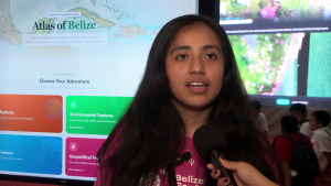
And for students, the experience goes beyond just viewing. The platform allows them to build their own maps, explore real data from government agencies, and interact with Belize’s geography in real time, all with free access.
Jamel Tun
Jamel Tun, GIS Technician, TBSL
“So we have access to ArcGIS Online, where we are able to make different maps using different data that’s shared by the different organizations, like Forestry Department, like Statistical Institute of Belize. And so we use that data to recreate maps from the Atlas of Belize, as well as another textbook, Belize Facts and Figures. So when it opens up, it directly takes you to Belize and a little bit below it, we’ll have access to the tools. So here they can actually change the map so they can have, they can see rivers, they can look at the different watersheds, they can look at population data and they can even add their own layers here by using the sketch tool.”
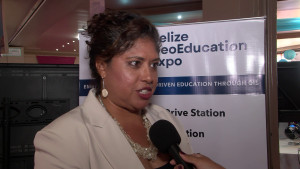
 For the Ministry of Education, today’s expo was about more than maps and software. It was about reshaping how students think. CEO Dian Maheia explained what she hopes young Belizeans walk away with.
Dian Maheia
Dian Maheia, CEO, Ministry of Education
“I hope that they’re going to recognize the importance of really engaging, not just being viewers of technology, but looking at these maps, looking at the data that’s presented in different ways, and really thinking, like, what does that mean, and how could I use that, and maybe even more, ‘how can I create these sorts of things? How can I be innovative? How can I support?’ We want our students to really become more scientific thinkers in that way, not science as in biology and chemistry, but just questioning things and wanting to figure out how to make things better or how to use tools that are available to us.”
Organizers say GIS is already being used across Belize, from elections and tourism to agriculture and census planning. With schools now gaining access, the hope is to build a generation of innovators ready to use data to solve real‑world problems. Reporting for News Five, I am Zenida Lanza.
Attention readers: This online newscast is a direct transcript of our evening television broadcast. When speakers use Kriol, we have carefully rendered their words using a standard spelling system.
Watch the full newscast here: