

Experts Pitch Geospatial Tech as Key to Rebuilding Resilient Infrastructure
After torrential rains left Belize’s roads badly damaged, eyes are turning to geospatial technology as a solution to many of the nation’s infrastructural challenges. At the Infrastructure Intelligence and Geospatial Innovation Forum, experts unveiled how digital transformation and reality capture tools can map damaged roadways, guide targeted repairs, and build resilience against future storms. The event drew professionals from surveying, engineering, agriculture, and infrastructure, all eager to see how integrated solutions are redefining project planning and management. News Five’s Britney Gordon reports.
 Britney Gordon, Reporting
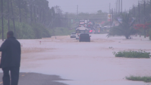
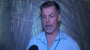
Just last week, heavy rains and flooding laid bare how vulnerable Belize’s roads and bridges remain. The Coastal Plain Highway, upgraded only three years ago, already shows damages. Experts say geospatial technology could help fix the problem. By delivering real-time data on road conditions, drainage, and structural health, it can pinpoint weak spots before they fail. Carlos Sanabria, president of Puerto Rico–based HLCM Group, says these tools offer a smarter, data-driven way to assess and protect critical infrastructure.

Carlos Sanabria
Carlos Sanabria, President, HLCM Group Inc.
“We are talking drones. We are talking traditional total stations, terrestrial laser scanners, mobile laser scanners GNSS system or GPS, which is commonly known to collect data for whatever is needed in terms of surveying, construction, and infrastructure development.”
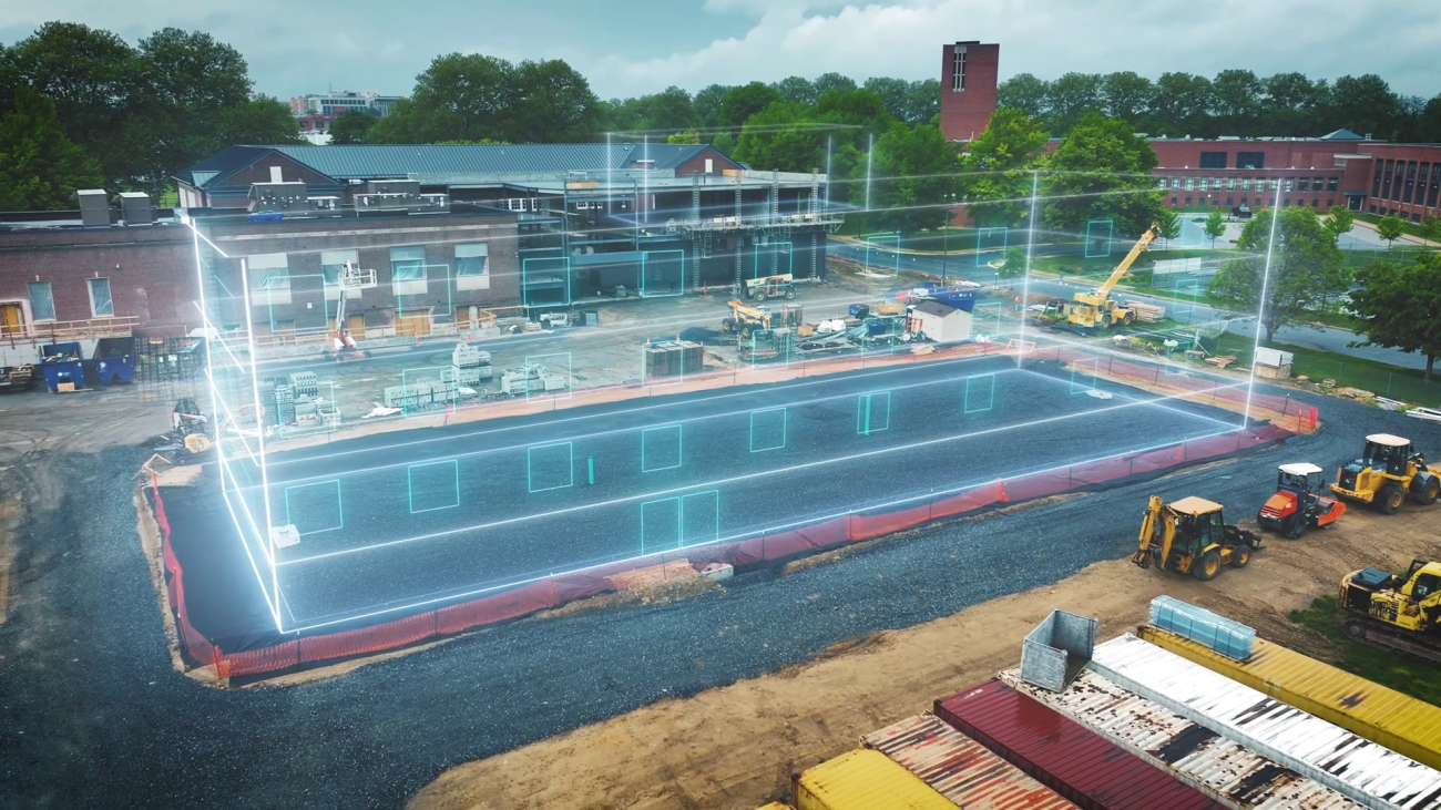
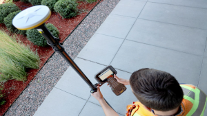
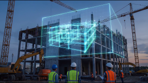 Modern tools like laser scanners and GPS systems are outpacing traditional surveys, capturing more data, faster and with greater accuracy. That data helps spot damage early and improve designs, making infrastructure more resilient to extreme weather. Trimble’s Latin American Channel Manager, Chad Lewis, says investing in these solutions will help Belize build roads and bridges that can better withstand a changing climate.
Chad Lewis
Chad Lewis, Latin American Channel Manager, Trimble
“Some of the reality capture platforms that we’ve sold into some of the the neighboring countries is pavement inspections, if you will, right? Some of the road conditions throughout the territory are not in what we call a great state right now. So we can use some of the technologies to drive these roads, capture the current state, and identify where we need to do the repairs, right? These countries are really embracing the technology and using it day to day. It’s great to see.”
The forum, hosted by Fultec Systems, stressed the importance of technology in driving smarter decision-making. General Manager Trevor Reneau explained that many industries in Belize rely on advanced tools to improve efficiency in their workplaces.
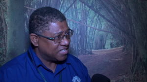
Trevor Reneau
Trevor Reneau, General Manager, Fultec Systems Ltd.
“The technology is already here, and what we’re doing is to bring that local support and also introduce the upgrades within those technologies within the different sectors. Like for instance, you might look at the 3D modeling, which is the Trimble X9, and back in the days, you used to use maybe an X-ray machine, and it would take maybe an entire week to do it. But now, with the 3D modeling aspect of the X9, you might be doing it within seven minutes. So you see how efficient that technology is in bringing it within your organization.”
 Farid Hode, a sales engineer at Trimble, says the difference comes down to data. When organizations rely on precise, data-driven decisions, they get recommendations that are consistently more accurate and results they can trust.
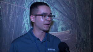
Farid Hode
Farid Hode, Sales Engineer, Trimble Inc.
“This can work for example, infrastructure like roads and bridges. Those are usually designed for, like, maybe fifty to seventy-five years maximum. But we know that in practice, these assets, these structures are living for longer than that. So we need to make sure that there’s no structural deformation on them and this data’s gonna help us understand that.”
Trevor Reneau says Belizean professionals are stepping up, training organizations to use geospatial technology effectively. While countries like Guyana and Suriname have already moved ahead, Belize now has a clear chance to catch up and strengthen its infrastructure with these tools. Britney Gordon for News Five.
Attention readers: This online newscast is a direct transcript of our evening television broadcast. When speakers use Kriol, we have carefully rendered their words using a standard spelling system.
Watch the full newscast here: